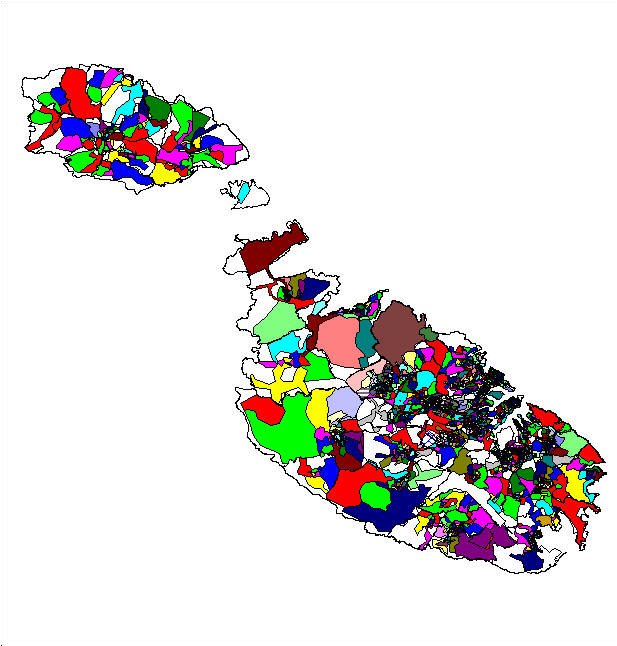
Enumeration Areas (EAS) map which is in the preliminary stage of data cleaning and spatial optimisation. The white areas indicate land with no residential units therein. These areas shall be integrated to cover the whole land area of the islands in order to deliver a full EAS linkmap. As an example of such a comprehensive EAS imagemap, a sample of the Valletta and Floriana Local Councils Map has been produced.
Mouse movements over the two maps results in link information in the status bar. Clicking on a Local Council boundary activates an attributes browser window.
1 Enumeration Area represents 150-180 households.
These preliminary maps have been developed using web.Publisher developed by Dataview Solutions Ltd 1999. A full-version of this software will help aid in the production of EAS maps which are too complex to produce using the same methodology adhered to in the rest of the imagemap section.